Saving lives and property.
Modern software for geodetic surveyors and service providors.
What is geomonitoring?
Geomonitoring protects life and property through risk assessment of environmental and structural hazards, including dams, bridges, natural phenoma, and more.
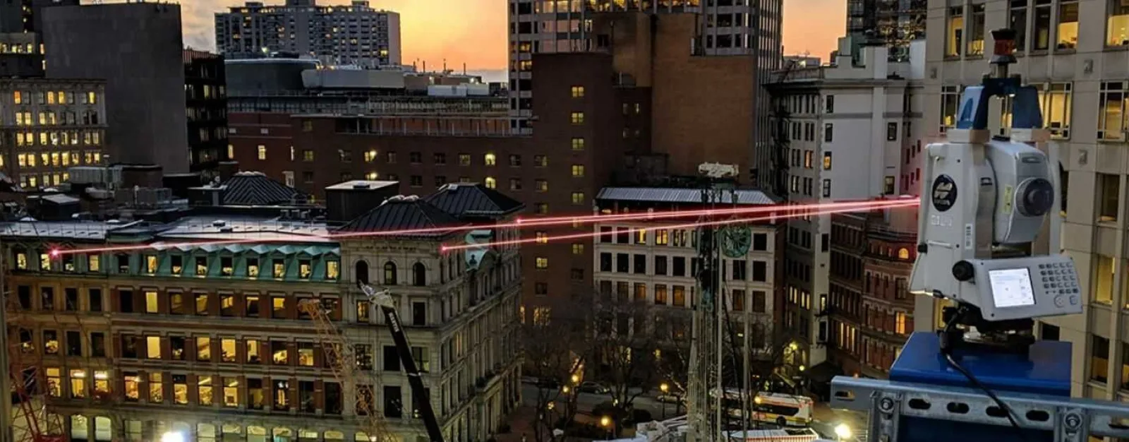
Source: Topcon Positioning Systems
Poor geomonitoring can destroy lives and property.
Brumadinho dam disaster
- Date: January 25th, 2019
- Location: Córrego do Feijão iron ore mine, Brumadinho, Minas Gerais, Brazil
- Lives lost: 270
- Damage: $7,000,000,000
Why Geodyssey Labs?
Existing solutions are:
- Prone to Risk: Exposure to risk through endless manual integrations
- Lack scalablity: Device and sensor limited by integration builds
- Expensive: Third party quality control add-ons double costs to fulfull tenders